Create digital replicas of sites and assets
Than manual inspections
100%
Safety
4K Resolution
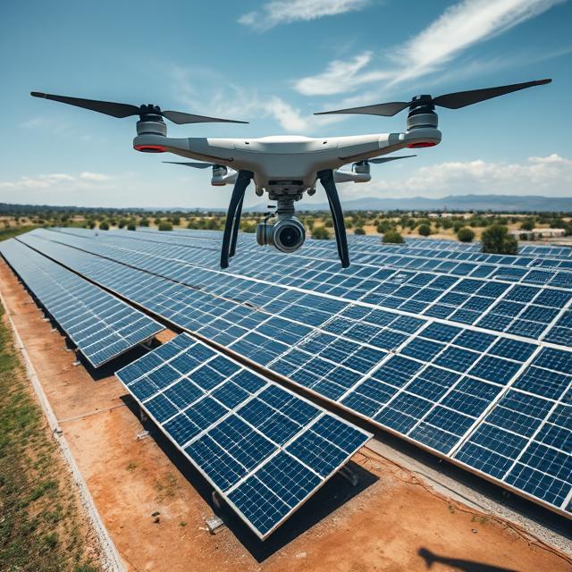
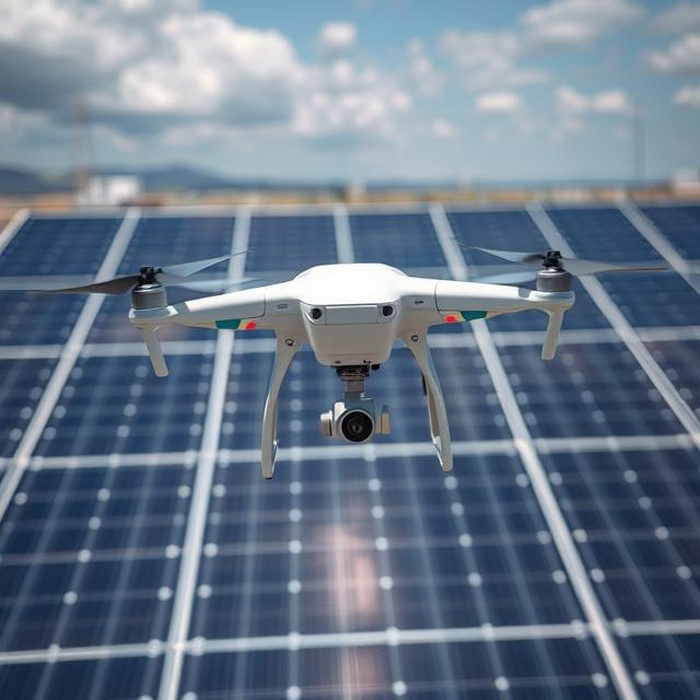
High-Quality Imaging
AI-Powered
Analysis
24/7
Data Access
Transform your energy operations with our comprehensive aerial services
Assess project sites more efficiently, accurately, and consistently with aerial surveys
Streamline project documentation, communication, and subcontractor verification
Ensure safety in the field while preventing future site install issues while complying with government regulations
Through aerial maps and 3D models, DroneDeploy automates analysis and reporting to:
High-resolution orthomosaic maps for accurate site documentation
Interactive digital twins of your energy assets
AI-powered defect detection and measurement tools
Cloud-based platform for team access and markup
Minimize worker exposure to hazardous inspections
TRUSTED BY LEADING ENERGY COMPANIES

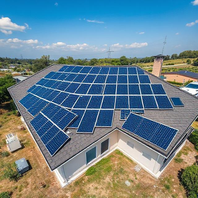
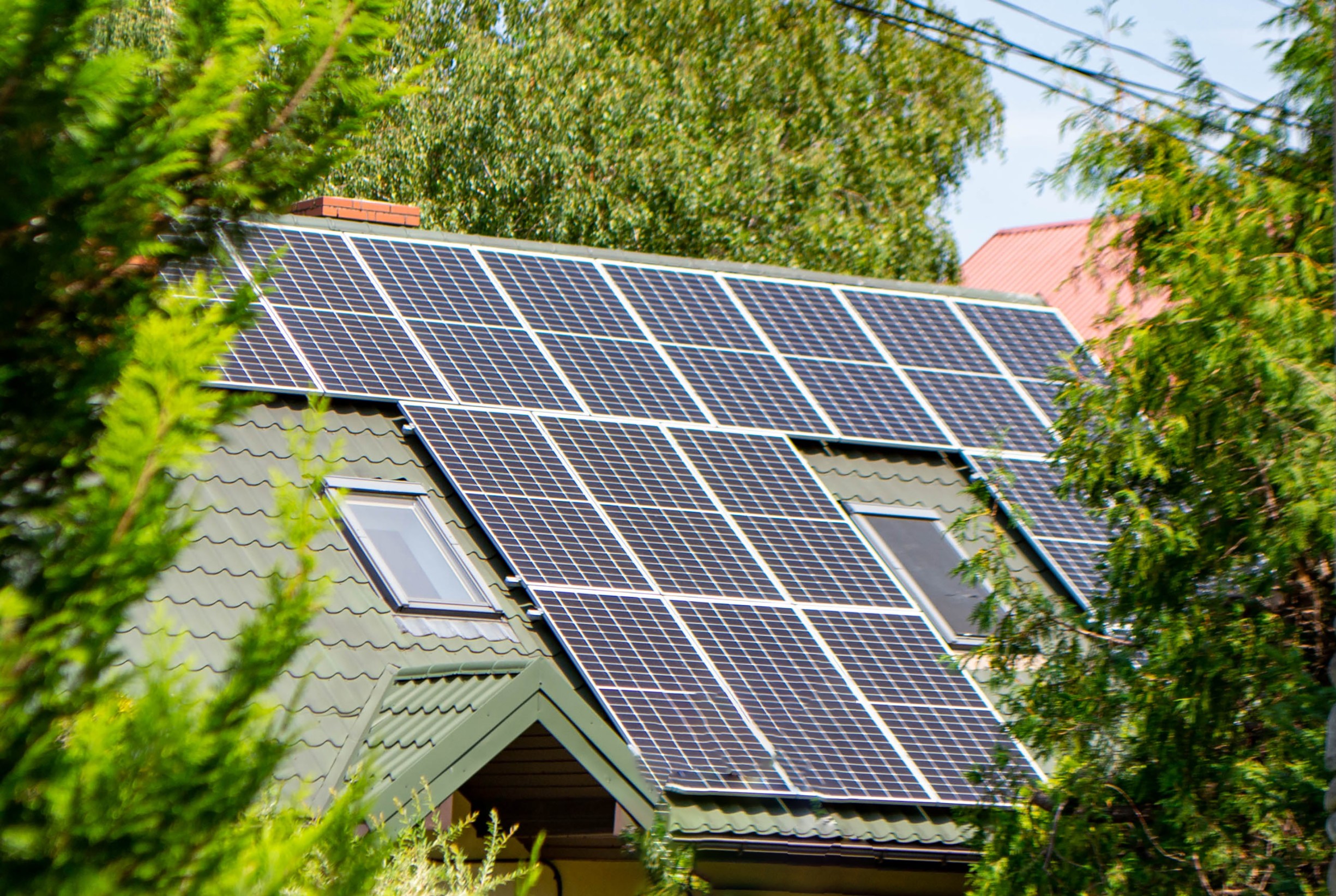
Speed up the site selection and planning process for utility and residential solar projects by standardizing deliverables for ground surveys or roof panel designs.
Increase the ROI for renewable projects by streamlining the site assessment process.
Professional Services can help you get started or even fly for you.
Our certified pilots handle all aspects of data capture and processing.
Get guidance on equipment selection, training, and implementation.
We ensure all flights meet FAA regulations and insurance requirements.

Oversee subcontractor work with real-time drone data and improve transparency and collaboration with stakeholders using a variety of media types and reports. Decrease the number of platforms needed for project management, surveys, and documentation.
Streamline project oversight with centralized drone data and reporting.
Reduce direct risk to workers conducting roof inspections or ground surveys while complying with stringent, changing government regulations. Detect damage and maintenance problems while maintaining photographic evidence for insurance claims.
Enhance safety and compliance while creating verifiable documentation.
Increase efficiency with consistent survey deliverables and streamlined operations, communication, and project documentation.
Increase the profitability of solar projects with tools to verify work and enable operational excellence for employees and subcontractors.
Keep projects on track by verifying subcontractor work and ensuring proper safety protocols onsite.
Generate accurate 3D models for site planning and energy estimates. Improve safety to workers by reducing the time spent on roofs with accurate roof measurement reports.
Leverage APIs to automatically send roof reports to design teams for faster project turnaround.
See how we solve these challenges"Going solar is not a straightforward process, so the challenge is how to install this quickly while also delivering a high-quality product and experience."
Safeguarding customer data is our top priority. We have attained ISO 27001 and SOC 2 Type 2 certifications and adhere to GDPR and privacy shield regulations.
Your data is protected throughout its lifecycle, from capture to storage, with in-transit and at-rest encryption.
Additional layers of security and privacy controls are available so you can use DroneDeploy across your enterprise.
Certified
Compliant
Compliant
Certified
Forget everything you know about reality capture... We've rewritten the rules. Learn how to harness the latest tech to document critical milestones throughout the mining lifecycle.
See how our solution can transform your workflow in just 30 minutes.